Property Details - Reference 2983

1 bed flat in Brinnington
Hollow End Towers Northumberland Road Brinnington Stockport SK5 8NYCost summary
£148.06
Weekly (48 weeks)
Overview
Advert Type:
Mutual Exchange Property.
Landlord:
Stockport Homes.
Added:
23/02/2026.

Main details
Property Reference:
2983.
Area:
Brinnington .
Property Details
Number of bedrooms:
1 Bed.
Property type:
Flat.
Garden type:
Communal garden.
Bathroom type:
Own bathroom.
Heating type:
Electric central heating.
Floor:
5th floor.
Lift :
Yes.
Current tenant's requirements
Current tenants requirements:
1-2 bed Bungalow, House in Adswood, Bramhall, Bredbury, Bredbury Green, Bridgehall, Brinnington , Cale Green, Cheadle , Cheadle Heath, Cheadle Hulme North, Cheadle Hulme South, Davenport, Denton, Dukinfield, Edgeley, Gatley, Great Moor , Hazel Grove , Heald Green, Heaton Chapel, Heaton Moor , Heaton Norris , High Lane , Hyde, Marple , Marple Bridge , Offerton Estate , Offerton North, Portwood , Reddish North, Reddish South, Romiley, Shaw Heath, Woodley.
Required property area:
Adswood, Bramhall, Bredbury, Bredbury Green, Bridgehall, Brinnington , Cale Green, Cheadle , Cheadle Heath, Cheadle Hulme North, Cheadle Hulme South, Davenport, Denton, Dukinfield, Edgeley, Gatley, Great Moor , Hazel Grove , Heald Green, Heaton Chapel, Heaton Moor , Heaton Norris , High Lane , Hyde, Marple , Marple Bridge , Offerton Estate , Offerton North, Portwood , Reddish North, Reddish South, Romiley, Shaw Heath, Woodley.
Min bedrooms:
1 bedroom.
Max bedrooms:
2 bedrooms.
Required property type:
Bungalow, House.
Financial Details
Rent:
£87.23.
Service charge:
£60.83.
Total cost:
£148.06.
Council tax band:
A.
Council tax amount:
£21.37.
Media
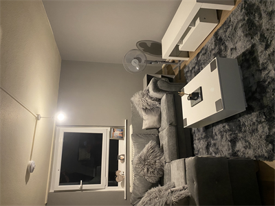
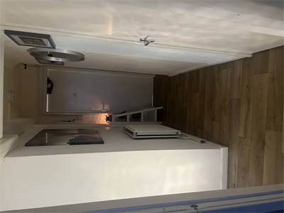
Living room
Item 1 of 9
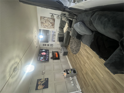
Living room
Item 2 of 9
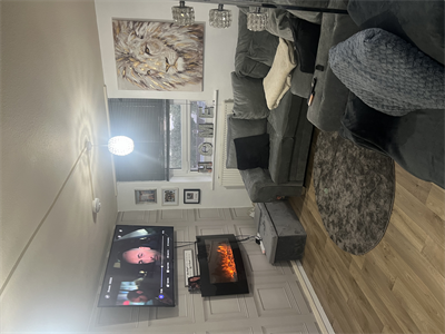
Living room
Item 3 of 9
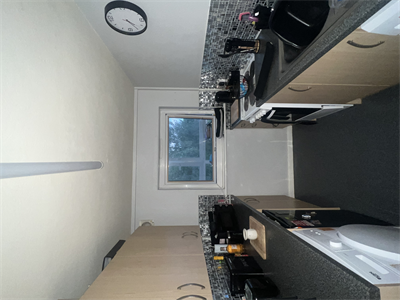
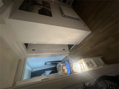
Other
Item 4 of 9
Other
Item 5 of 9
Other
Item 6 of 9
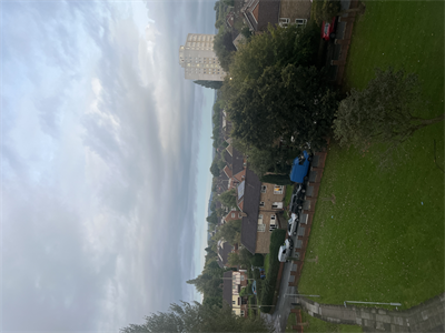
Front view
Item 7 of 9
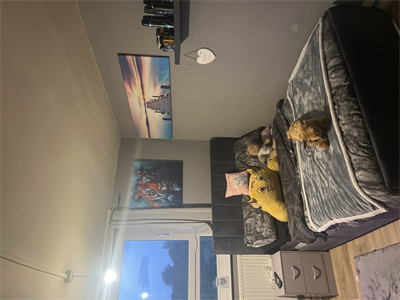
Bedroom 1
Item 8 of 9
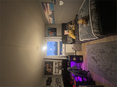
Bedroom 1
Item 9 of 9
Local area
Brinnington
Visit the links below to find out more about the local area.- View places of interest nearby
- Find local NHS and health services
- Find local schools
- Find local child care options
- Find local volunteering opportunities
- View places of interest nearby
- Find local NHS and health services
- Find local schools
- Find local child care options
- Find local volunteering opportunities
Map
Below is a map showing this property's location. You can find more information about this property in the 'Overview' tab. Skip past the mapMap references should be used as a guide only and do not indicate the precise location of the property
Contains Ordnance Survey data © Crown copyright and database right 2015.